Address
16164 Highway 12 East, Midland, ON, L4R 4K8
Parking Info
There is ample parking for visitors including those with RVs and buses. Please park in the parking lot provided and make your way to the admissions entrance. We also have bike racks available for cyclists coming from the Tay Trail. Note that on-site parking for signature events may be limited, so be sure to check event webpages before your visit.
Directions to Sainte-Marie among the Hurons
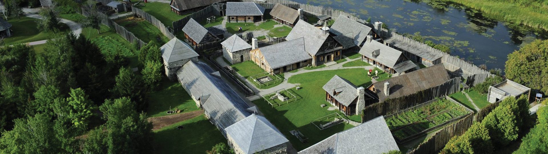
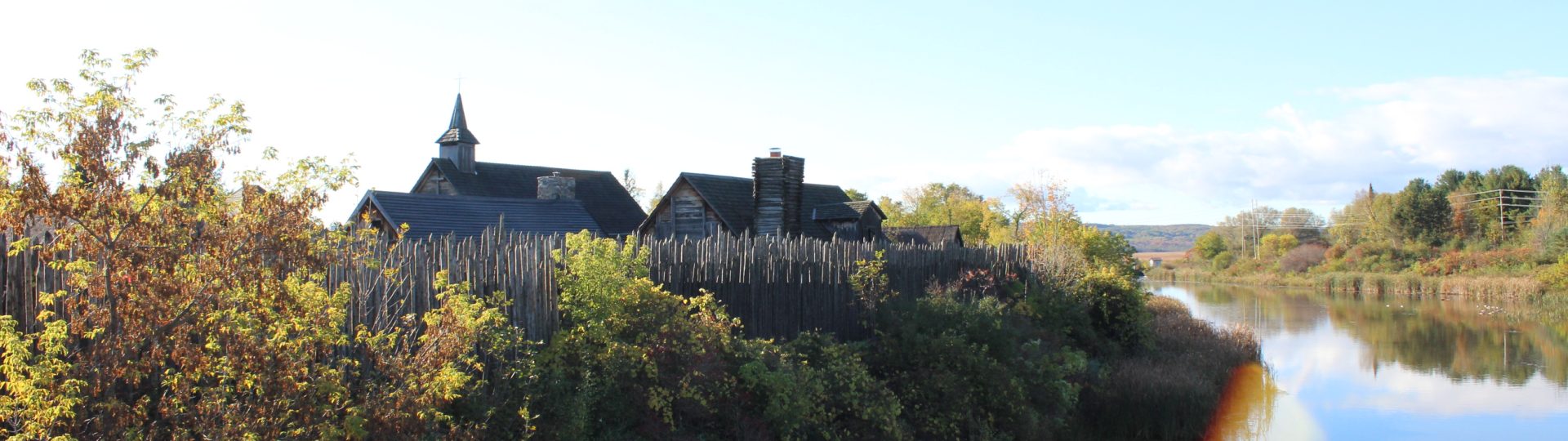
Located across from the Martyrs’ Shrine, Sainte-Marie among the Hurons is accessible from Ontario’s major provincial highways and several trails.
Our location, near Midland Ontario, is a significant destination point for families, history buffs, education groups and international tours travelling throughout the Georgian Bay region.
Coming from Toronto
Follow Highway 400 north to Highway 93. North to Highway 12 to Midland. East on Highway 12, for 5 Kilometres.
Coming from Huntsville and Muskoka
Follow Highway 11 south to Orillia, take exit 133 (Highway 12). West on Highway 12 for 40 Kilometres.
Coming from Sudbury and Parry Sound
Follow Highway 69/400 south, take exit 147 (Highway 12). West on Highway 12 for 13 Kilometres.
Coming from Collingwood / Wasaga Beach
Follow Highway 26 to Highway 92. East on Highway 92 through Elmvale, and continue on County Road 19 east. North on Highway 93 to Highway 12. East on Highway 12, for 5 Kilometres.
GPS Coordinates:
For those with the technology, we are providing our GPS coordinates for you to help make navigating your way to Sainte-Marie among the Hurons easier.
We are located at 44º44.051 – 79º50.646